Meadow Mountain, Whiskey Creek, Everkrisp Loop
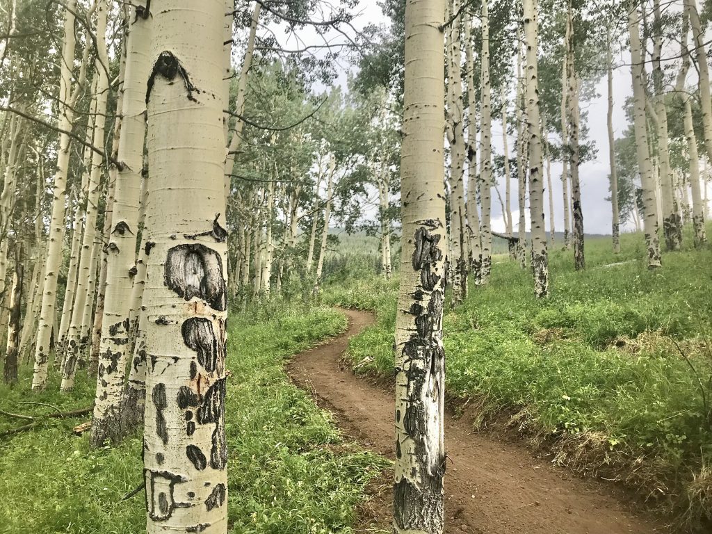
This lesser-known loop between Minturn and EagleVail climbs a long, non-technical doubletrack past the Half Nelson and Full Nelson junctions to Whiskey Creek and the historic Line Shack at the top of Meadow Mountain. The Whiskey Creek descent is the payoff: dense forest, open meadows and rock-and-root obstacles on trail that was closed to bikes for years because of private property until the Everkrisp Trail reconnected it. At the bottom, Everkrisp goes right back to the Minturn trailhead through aspen stands or left into the EagleVail neighborhoods. The land was a lettuce farm until it became public in 1979, and the VVMTA rerouted stretches of the old road into sustainable singletrack in 2021.
10.3 mi
2,100 ft gain
2 hr
Advanced
Highlights
- Historic Line Shack at the summit
- Whiskey Creek descent through forest and meadows
- Everkrisp connector to EagleVail
- Former lettuce farm, public land since 1979
Trailhead & parking
U.S. Forest Service station, Highway 6 & 24
Park at the Forest Service station on Highway 6 and 24 just off the Minturn I-70 exit, or start at the Stone Creek trailhead in EagleVail to add the western section of Everkrisp.
Directions- Season & conditions
- Whiskey Creek and Everkrisp are closed Nov. 23 through June 20; best midsummer to late fall.
- About this data
- Distance, elevation, difficulty, season and history are from the article. Coordinates approximate the USFS station near the Minturn exit.